We are Cahaba River Coalition. Cahaba River Society and Cahaba Riverkeeper have merged to strengthen watershed protection and conservation for communities, wildlife, and future generations. Read the full announcement

Cahabapedia

Cahabapedia is an interactive, dynamic GIS map that provides access to reference data on the Cahaba River and its tributaries. This resource aids research and collaboration for organizations studying the river and responding to environmental emergencies.  

Cahabapedia Features

Cahabapedia was developed on the ArcGIS platform, the industry standard for geographic information systems (GIS) used in emergency management, disaster response, national mapping efforts, and critical infrastructure planning. Features include:
  • Intuitive navigation with layers, colors, and symbols, developed to visualize complex data sets
  • The ability to toggle data points and stackable layers on and off
  • A proximity tool to view selected data in a given radius or around a dropped pin.
  • A tracer tool that can be used to track the nearest downstream flow path from a selected area.
  • The ability to add data and layers from ArcGIS Online, Living Atlas, and ArcGIS URL, or through file uploads.
  • Access data created by other users with a file or through ArcGIS Online.
  • An Environmental Justice layer with data from the EPA’s EJSCREEN and the Justice40 Climate and Economic Justice Screening Tool (CEJST).
  • Areas of interest like schools, Superfund sites, sanitary sewage overflows, pipelines, protected areas, critical habitats, and more.
  • Recreational areas, including parks, golf courses, beaches, water access locations, trails, and more.

History of Cahabapedia

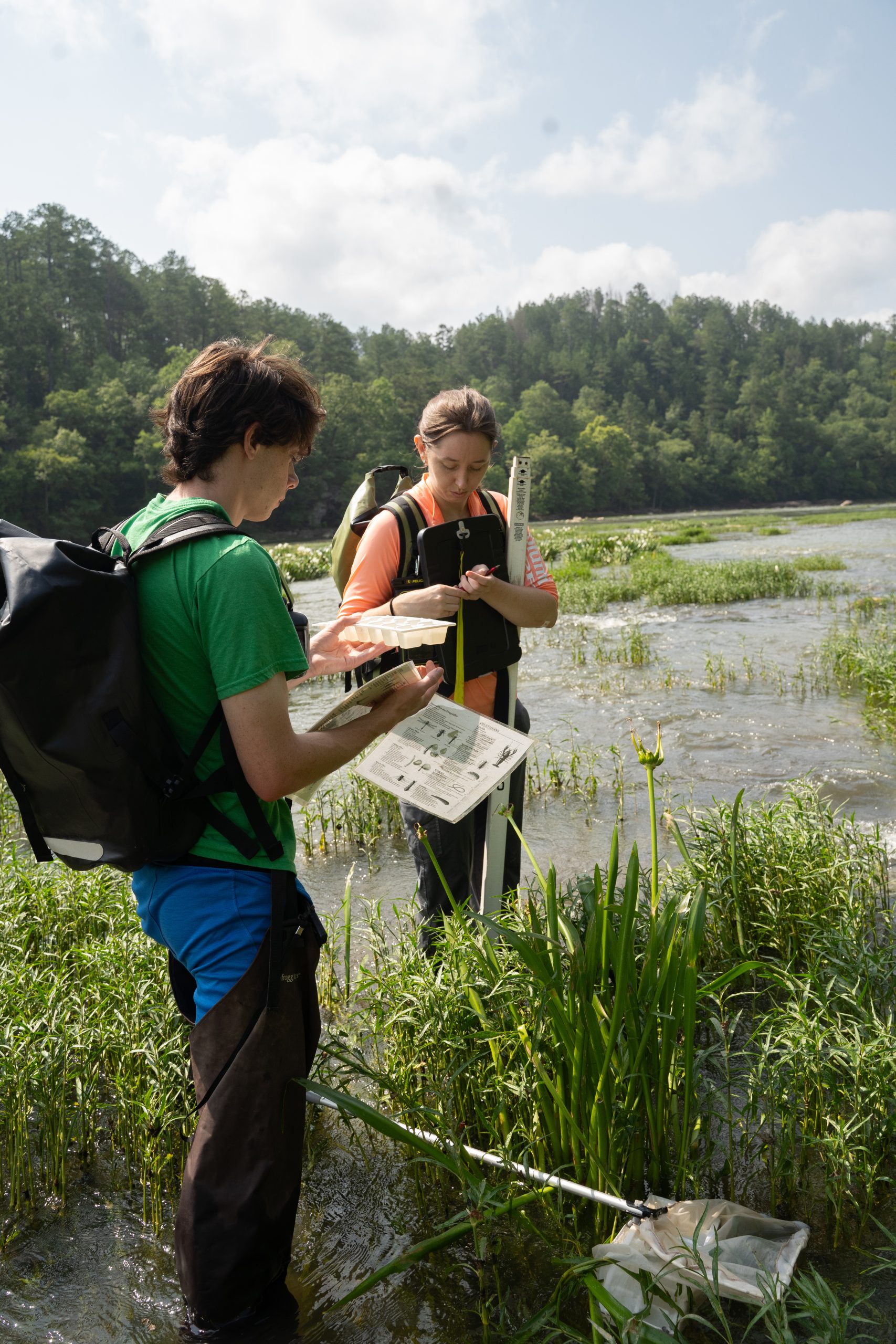
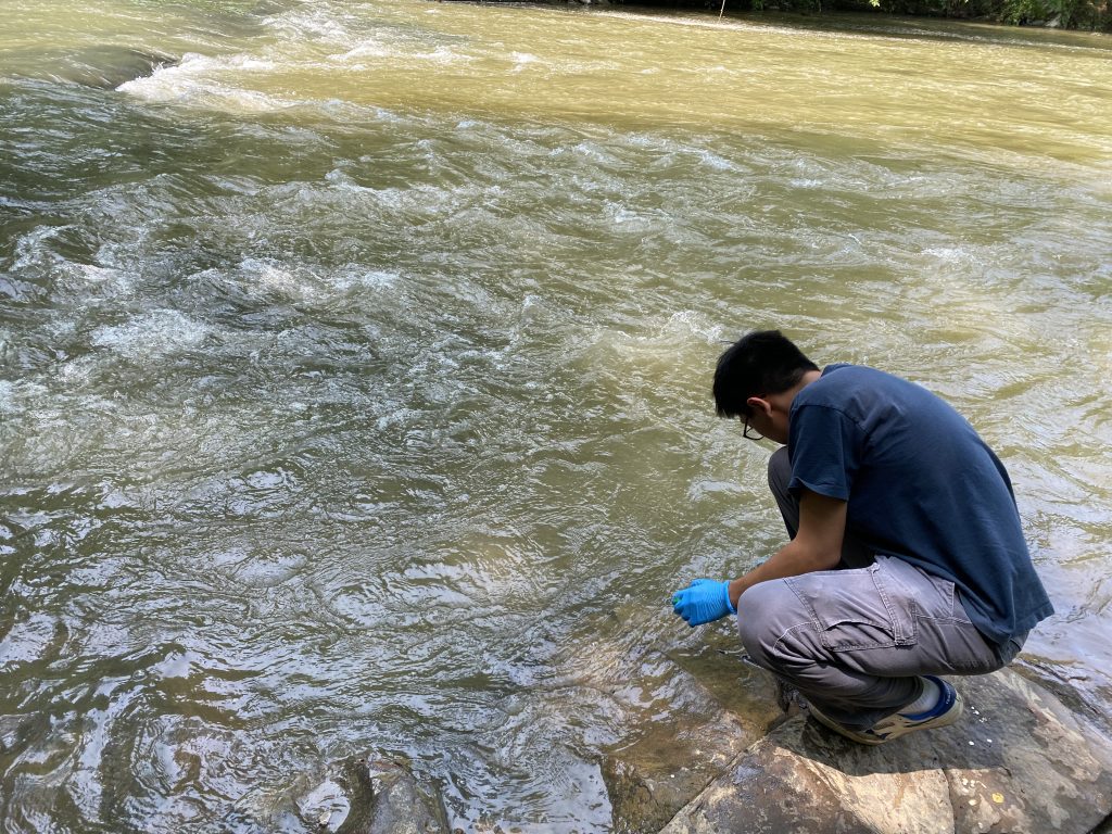
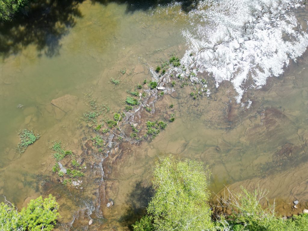
Cahabapedia was conceived after the 2016 Colonial Pipeline spill revealed that vital information about the river was scattered across multiple federal, state, and local organizations. Locating significant infrastructure sites and critical data about the river during a crisis required significant time and resources. Cahabapedia removes silos to facilitate coordinated responses and research.

Made Possible through Partnership

Savannah Riverkeeper and New Fields of Atlanta were essential collaborators, helping us make Cahabapedia a reality. We appreciate the support of the Mosaic Foundation, Water Foundation, Colonial Pipeline Foundation, and other funders who recognized Cahabapedia’s significance for all citizens.

Be a Voice
for the River

Your membership fuels science, advocacy and education that safeguard the Cahaba River for generations to come
Copyright © 2026 Cahaba River Coalition
Web Development By Infomedia